Lloyd's Register: first for trusted advice in the maritime industry
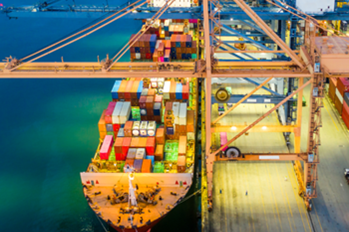
Lloyd's Register is a leading provider of classification and compliance services to the marine and offshore industries, helping clients design, construct, operate, extend and decommission their assets safely and in line with environmental expectations.